Pictured Rocks Cruise ship, Grand Island.
Grand Island is just one of the 5 tour boats being used for Pictured Rocks Cruises
Pictured Rocks National Lakeshore
Pictured Rocks Cruises

355 Elm Avenue
Munising, Michigan 49862
(906) 387-2379
Mid May till mid October
Adults: $35     6 -12: $10


Pictured Rocks Cruise 2  Pictured Rocks Cruise 3

Pictured Rocks Cruise Dock Map

Mighty Mac Home

Grand Island East Channel Lighthouse - Munising, Michigan

July 6, 2008: I over slept but was still able to quickly shower and leave my parents' home in time to drive to the Upper Peninsula and arrive at Munising, Michigan to take the first Pictured Rocks boat tour of the day at 10AM. I first took the Pictured Rocks cruise in 1966 and had last been on the tour in 1977. Pictured Rocks Cruises has been taking visitors along the Lake Superior lakeshore for over 50 years

The cruise goes along about 18 miles of the spectacular Pictured Rocks National Lakeshore and takes about 2 1/2 hours.

Tahquamenon Falls in winter
Tahquamenon Falls in Winter

Tahquamenon Falls with autumn colors
Tahquamenon Falls


Mackinac Island in Winter

UP Lighthouses Tahquamenon Falls & Whitefish Point

July 4th trip - Mackinaw City, Mackinac Island, Sault Ste Marie

Keith's other trips

Mackinac Bridge

Mightmac.org home
Grand Island East Channel Lighthouse is on private property on Grand Island, Michigan.
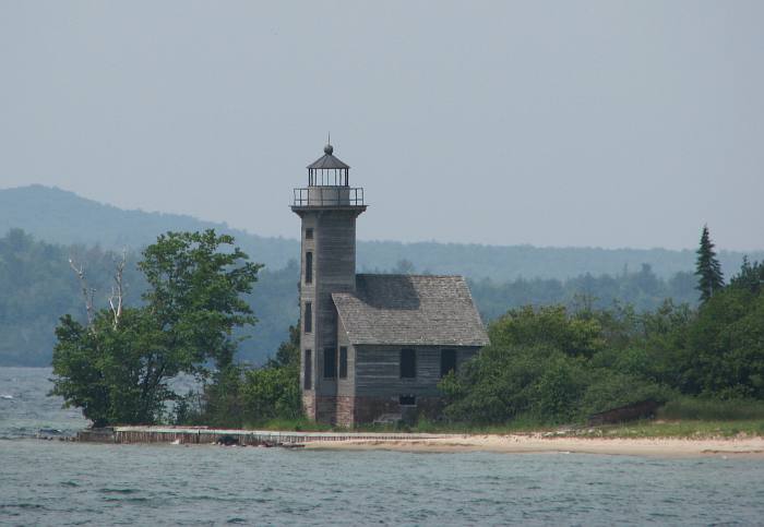
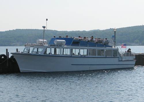
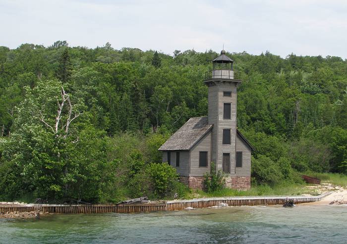
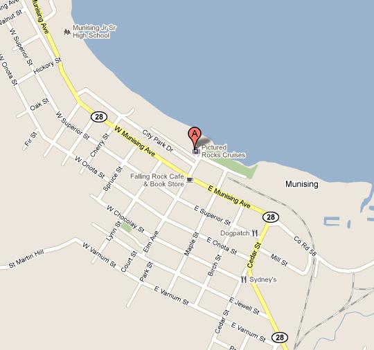
Grand Island East Channel Lighthouse - Munising Bay

The vistas are beautiful on the way out of Munising Bay. Heading east toward the Pictured Rocks National Lakeshore, the interesting feature is Grand Island East Channel Lighthouse. The East Channel Lighthouse was built in 1863 and replaced by the Munising Range Lights in 1908. this lighthouse sits on the southeast shore of Grand Island on private property. The East Channel Lights Rescue Project works to prevent further deterioration of the beautiful old light.

Miners Castle
Miners Castle is the best known and easily accessible limestone formations along Lake Superior
at Pictured Rocks National Lakeshore. The day I took the cruise, I thought it was much less impressive
than I remembered from the 1960s and 70s. I later learned that the tallest tower at Miners Castle
collapsed in the winter of 2006.

Kayake at Miners Castle - Pictured Rocks
Kayakers exploring the a series of connecting caverns at the base of Miners Castle.


Bridalveil Falls lies about a half mile east of Miners Beach along the Pictured Rocks cliffs. Bridalveil Falls
can be spectacular in the Spring or after a storm but it was slowed to a trickle when I was there in July..

Lover's Leap - Pictured Rocks National Lakeshore

Pictured Rocks Cruise Dock Map - Munising, Michigan
Pictured Rocks Cruise Dock Map

Pictured Rocks Cruise 2   Pictured Rocks Cruise 3

Copyright 2008-2014 by Keith Stokes. My other trips.